End-to-end/integrated services
 Affiliate member
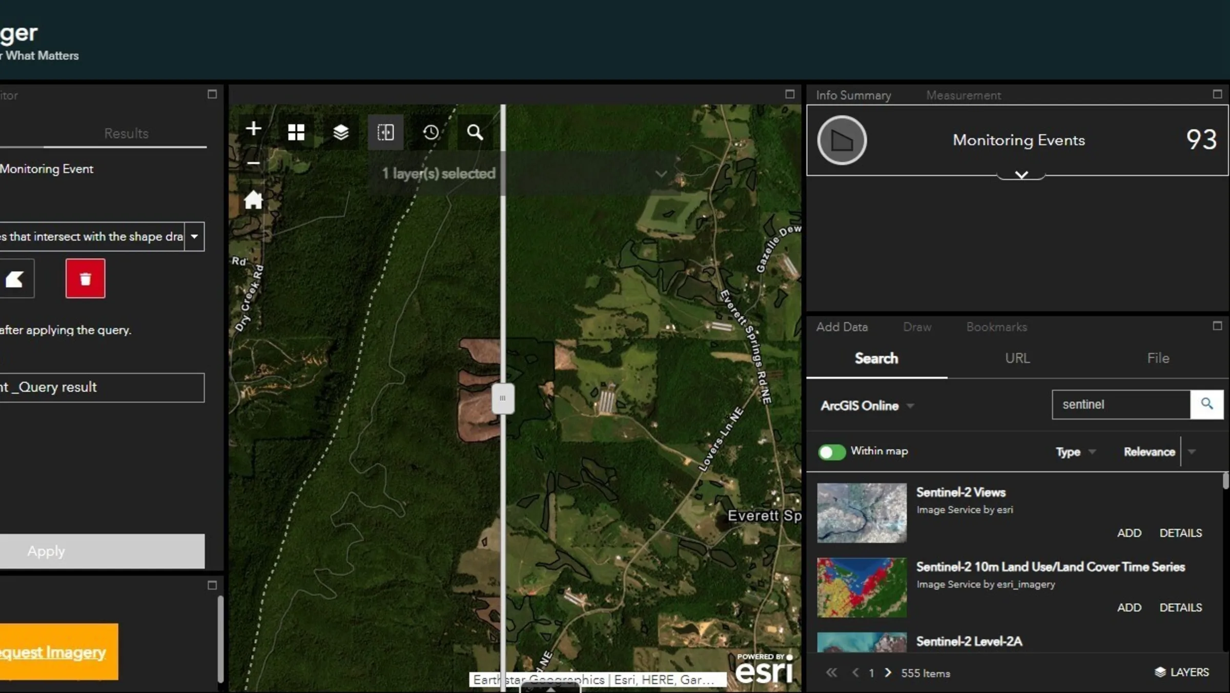
Skytec LLC
Skytec offers an annual subscription to its Ranger web-based monitoring application. It is powered by multiple remotely sensed data feeds, ranging from Planet multispectral satellite images to high-resolution UAS imaging and LiDAR products. Basic features include compliance monitoring, land disturbance event detection or change detection, in-field tagging and data collection capabilities, a conservation priority layer, annual monitoring reporting template and direct data compatibility with Esri GIS software. Optional upgrade products, such as advanced LiDAR, 3D visualization, custom UAS monitoring and biomass evaluations, are available for an additional cost.
Website
terraPulse
TerraPulse maps and monitors landscape changes through satellite-based measurements of forests, farms, ranches, wildlife habitat and residential and urban development. Its platform includes access to both higher and lower resolution imagery and multispectral data as well as robust analytical tools, including algorithms that apply expertise in satellite image analysis to automate the provision of near real time, and cost-effective decision-making tools.
Website
Upstream Tech
Upstream Tech’s Lens platform was designed in partnership with The Nature Conservancy to facilitate easement and fee property monitoring. Users receive an annual subscription that includes free public satellite imagery and can order high-resolution satellite and aerial imagery from multiple providers on an as-needed basis. They have developed a batch tasking system that allows organizations to get a bulk deal for tasking with other organizations tasking in a similar time period. Reporting and analysis features are embedded in the platform and able to be synced to Landscape Conservation Software. Subscription costs depend on the size of your land trust’s stewardship operation and include an allocation of high-resolution imagery beyond which there may be a per-acre fee.
Website