Change detection
Tracking changes across a landscape over time can be of immense use to land trusts.
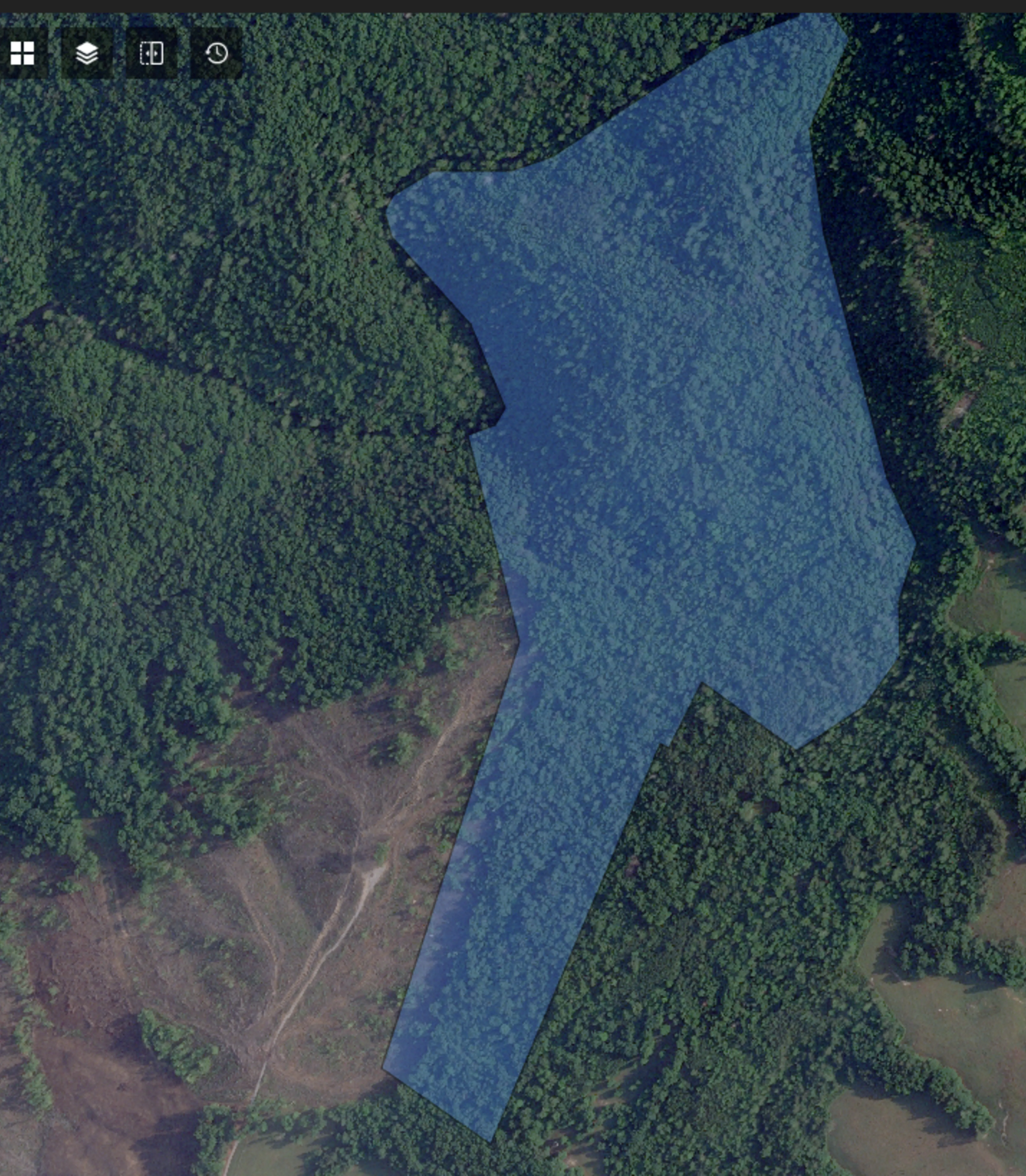
In the example below, change detection software alerted TennGreen Land Conservancy, a accredited land trust in Tennessee, to a forestry operation on an adjacent property that may have crossed boundary lines.
While remote imagery can be an important tool for tracking change, there are some limitations that land trusts should be aware of. Remote imagery companies continue to make significant advances in change detection technology. Some of the challenges associated with this tool relate to broader issues around machine learning. For example, change detection software must be able to understand vegetation differences that occur naturally between seasons—a skill that software has not yet managed to accomplish as efficiently as the human eye. This software is available for organizations to use either weekly, monthly, quarterly or annually. Land trusts often found a quarterly review to be the most useful.
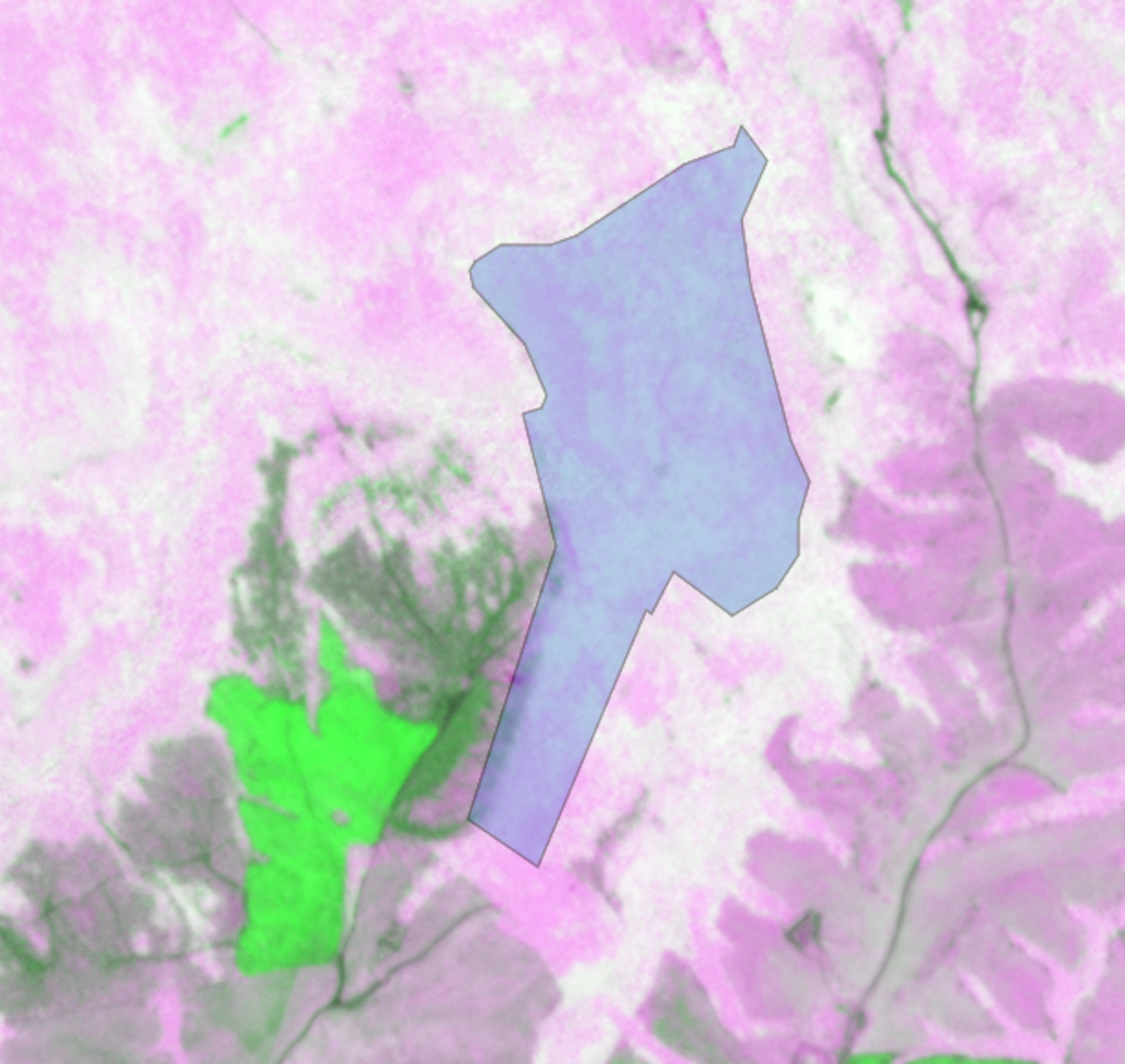
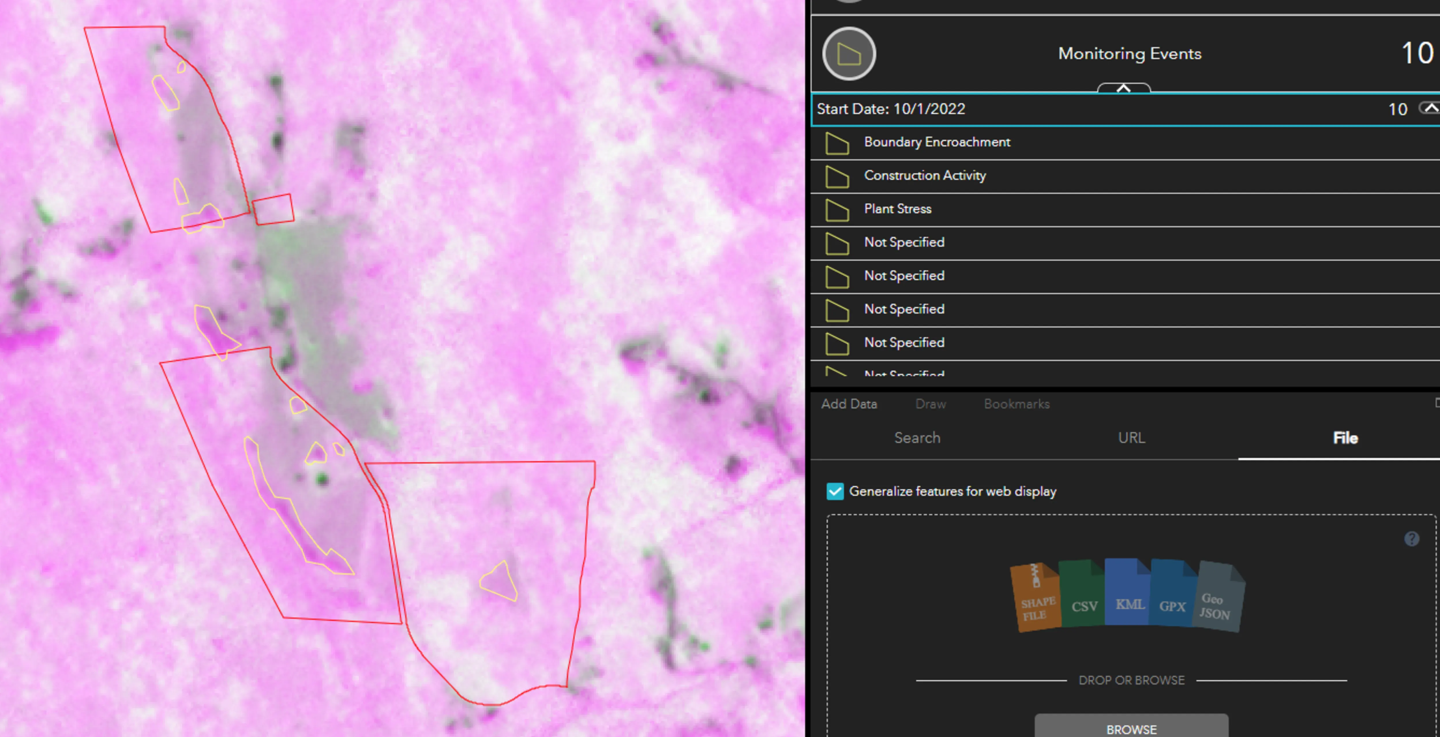
In the Skytec Ranger change detection images below, hues of green indicate vegetation growth, white represents no change and stronger pinks indicate something has changed. The first two photos show a true color image next to the change detection image. The third image shows changes detected by the software.
Due to the limitations of this software, human eyes and fine (high) resolution imagery are still required to confirm whether there is an issue or violation. In this instance, the software alerted the land trust to a potential trespass that might have otherwise gone unnoticed for months, given the monitoring schedule.