Direct-from-vendor products
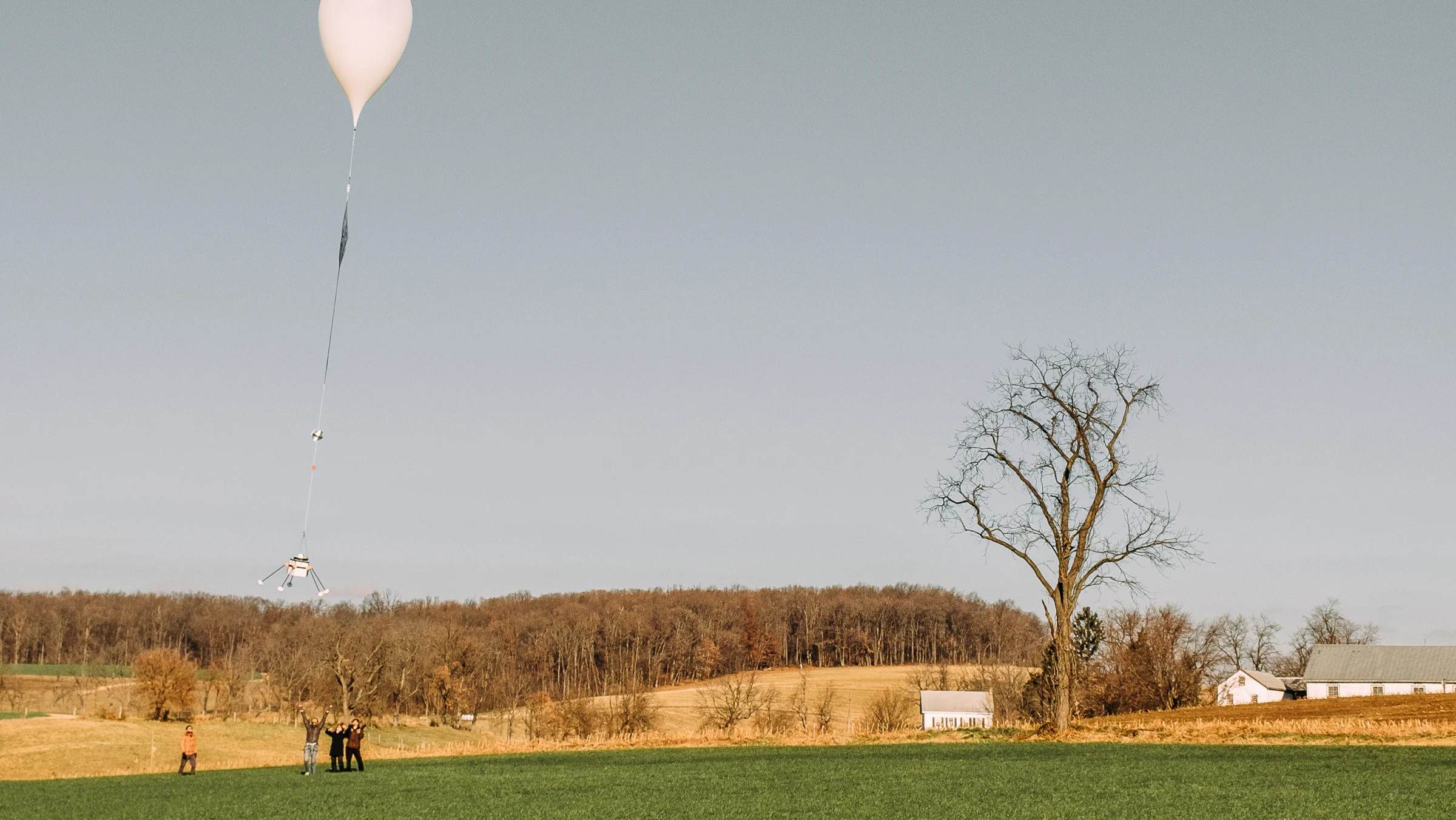
Near Space Labs
Near Space Labs provides low-cost, high-quality imagery gathered using high-altitude balloons. Because its image capture equipment is not in orbit, staff must be deployed in the field to operate the system.
Website
Nearmap
Nearmap is an aerial imagery service that provides high-resolution vertical and oblique imagery covering primarily urban and suburban areas. Its imagery, which is derived from aviation-based sources, is housed on a web-based platform and tends to be one of the more cost-effective options available.
Website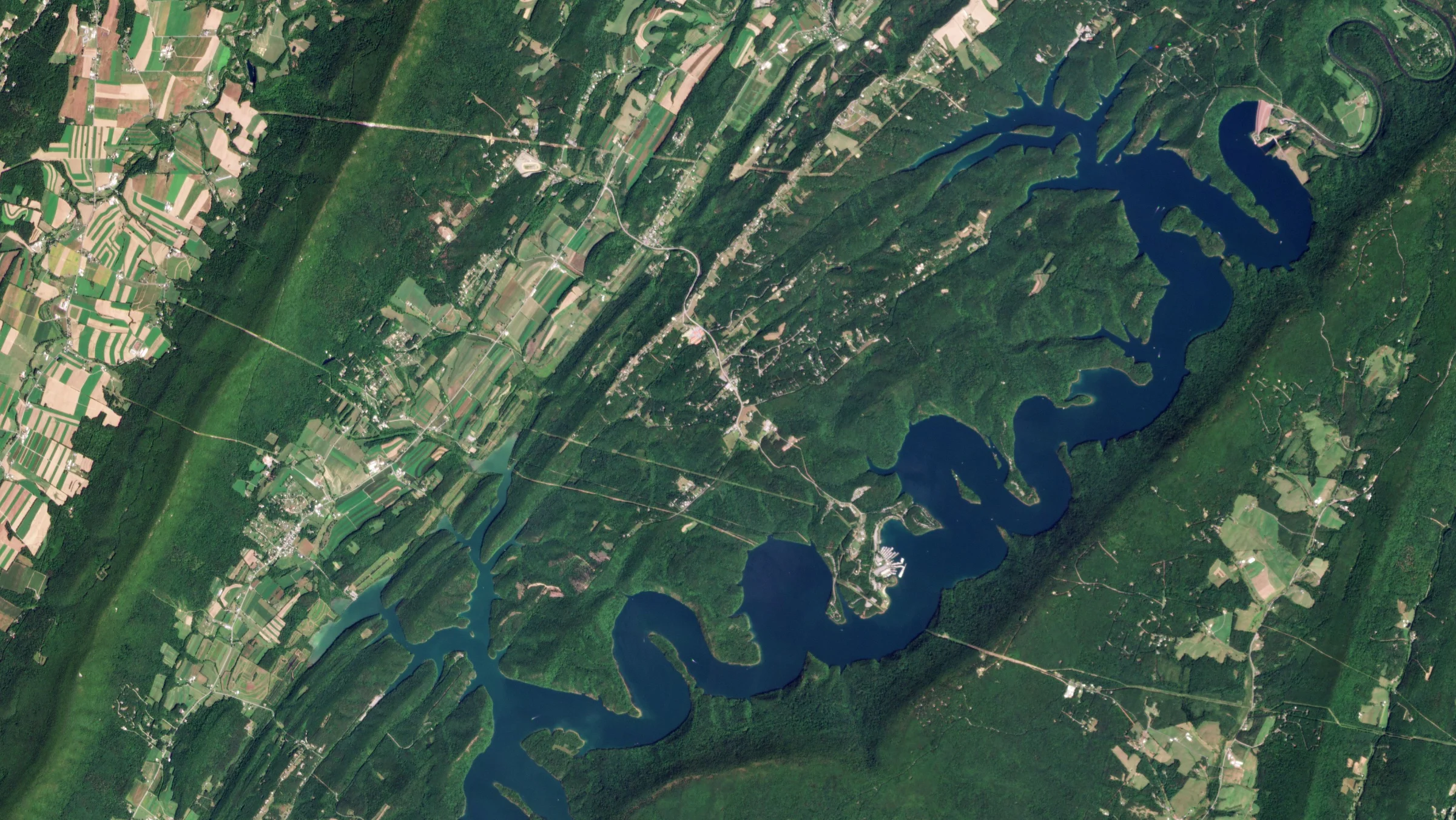
Planet Labs
Planet Labs is one of the largest satellite operators, offering a robust constellation of Earth-observing satellites that provide both an archive of high-resolution data as well as the option to “task” a satellite to retrieve imagery on demand for a higher cost. Planet Labs also offers frequent global coverage, up to every 24 hours for some of their products. Because of the scale at which it operates, it tends to require large minimum purchase amounts and large minimum capture areas for tasked imagery.
Website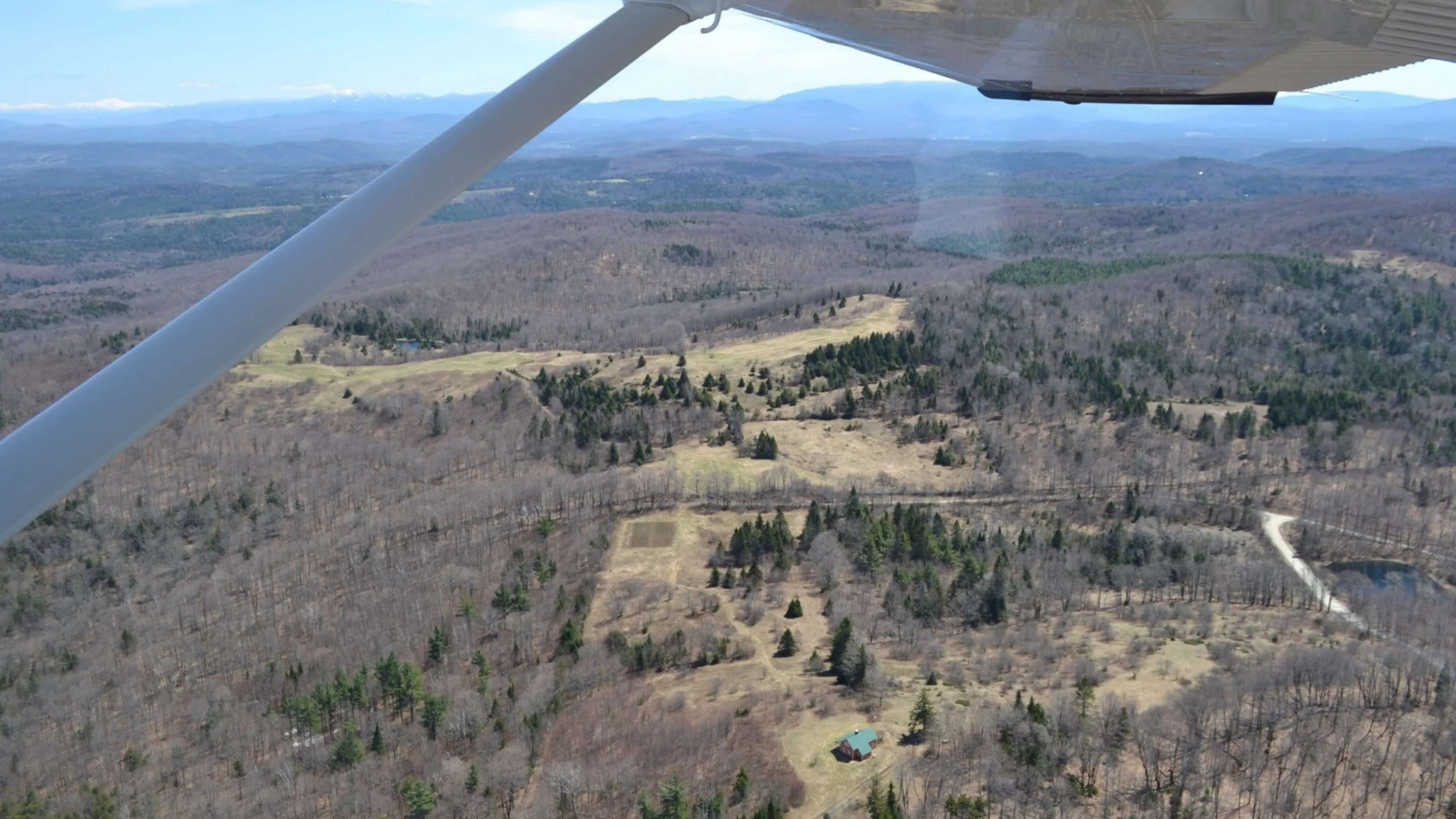
Lighthawk
Since 1979 LightHawk has been partnering with conservation groups from across the country to advance conservation outcomes through the power of aviation. They have worked with numerous land trusts to support annual monitoring efforts, provide staff and donors aerial views of conserved properties and potential acquisition projects, and to facilitate the capture of aerial photographs and videos which provide unique perspectives for storytelling in support of development efforts. They have flown nearly 800 missions in support of land trusts, logging close to 3,000 flight hours. LightHawk is committed to continuing to work with land trusts to advance their conservation goals, including providing geotagged imagery to simplify the process of relating photos to property boundaries and areas of interest on the ground. We’re looking forward to partnering with you.