Remote monitoring toolkit
Source
About This Toolkit
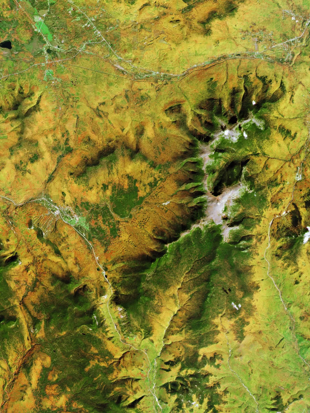
Land trusts across the country are using aerial imagery for stewardship in new and exciting ways. They can choose from a variety of geospatial technologies that can improve stewardship by easily identifying threats to conservation values while at the same time reducing monitoring costs and increasing efficiencies. It’s a brave new world of stewardship technology, but it can be daunting to figure out whether remote monitoring is right for your land trust and where to start. The Land Trust Alliance created this toolkit to provide you with the information you and your team need to make the right decisions on remote monitoring for your land trust.
© 2026 Land Trust Alliance, Inc. All rights reserved.
Disclaimer
These resources are provided "as is" for informational purposes only, without warranty of any kind. They do not constitute legal or professional advice and do not create an attorney-client relationship. They may not reflect current legal developments and should be adapted for your organization with qualified professional help. The Alliance is not liable for any damages arising from use of or reliance on these resources. Views in individual posts and third-party links/logos are not Alliance endorsements. The Alliance is committed to equal opportunity and does not condone unlawful discrimination.
For accreditation-related materials, please also consult the Land Trust Accreditation Commission website.