Easing rising waters in Vermont
River corridor easements are unique agreements with landowners that allow flooded rivers to flow across their land, drop soil and debris and reduce damage in more populated areas.
This story originally appeared in the Winter 2024 issue of Saving Land magazine.
Storms last summer dumped up to two months of rain in two days in parts of Vermont, causing inundated rivers to overflow, washing out roads and devastating communities. Vermont is especially vulnerable to flooding due to its steep terrain, and the catastrophe highlighted the need for greater floodplain protection and restoration.
As bad as it was, the flooding likely would have been much worse if not for the Vermont River Conservancy. The land trust’s river corridor easements are unique agreements with landowners that allow flooded rivers to flow across their land, drop soil and debris and reduce damage in more populated areas. Vermont River Conservancy works around the state to protect land along rivers, restore wetlands, plant trees and shrubs along riverbanks, and reconnect rivers to their natural floodplains.
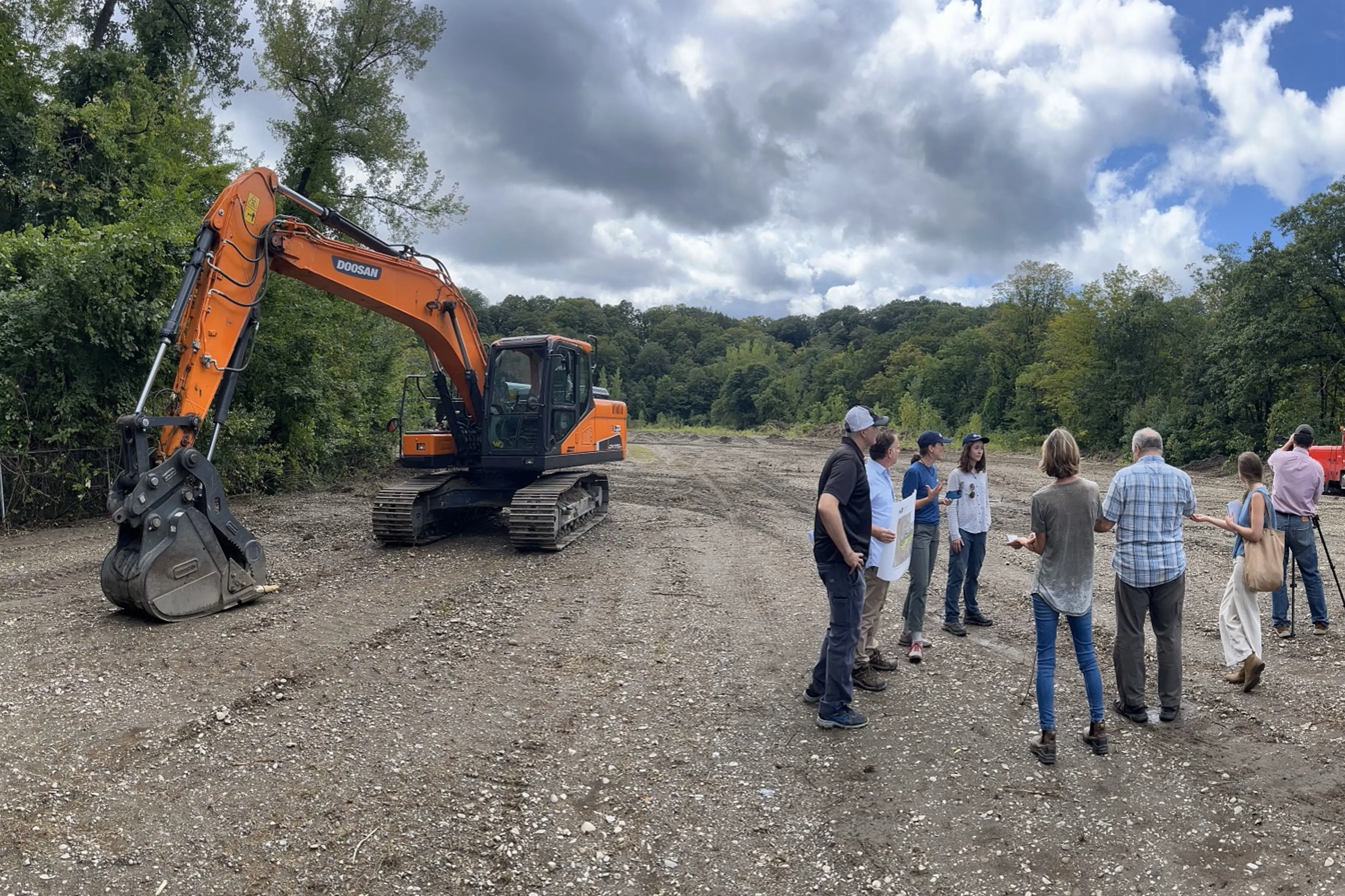
In one recent example, Vermont River Conservancy purchased 12 acres along Whetstone Brook in downtown Brattleboro most recently used for lumber storage. For more than 200 years, this historic floodplain was raised artificially above the river with industrial fill. As a result, it failed to flood naturally during Tropical Storm Irene, which instead pushed floodwaters into adjacent homes, roads and businesses.

Now, Vermont River Conservancy and the town of Brattleboro are jointly cleaning up the land, trucking away gravel and replanting native trees and grasses along the riverbank. When complete, the restored floodplain and wetland will reduce future flood damage downtown. In addition, the resulting green space will include public access to the brook, a hiking trail and a viewing area, creating new outdoor access in the heart of this urban neighborhood.