Geospatial Technologies for Prioritization
Webinar Date
Source
Location
About This Webinar
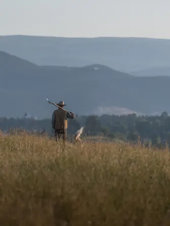
With the new calls to increase the pace and scale of land protection to meet climate change, the land trust community must use all available tools and processes to meet 30 by 30. How do we know what to protect to create a pipeline of places that meet traditional conservation goals plus places that include equity and climate resilience? Join GIS experts Breece Robertson and Jeff Allenby as they discuss how geospatial data and technologies can help land trusts meet these challenges.
In this webinar, we’ll provide an overview of the current state of geospatial data and technologies, how you can access them and where the field is going. No matter where your organization is in terms of capacity, funding or technical sophistication, you can tap into the power of data, science and technology to support your mission. Products derived from sophisticated technologies like artificial intelligence and machine learning are increasingly available to land trusts. We’ll provide specific use cases that feature different technology applications on topics like climate resilience, equity and monitoring.
How can you access geospatial data and tools to prioritize where to work and to monitor easements?
How to access free or low cost geospatial data and tools.
What is artificial intelligence and machine learning and how can they help your workflows to save time and money?
- Alliance members: $70.00
- Non-members: $100.00

Using geospatial tools to build resilience
The North Quabbin Regional Landscape Partnership is using geospatial tools to identify conservation priorities to support resiliency in the face of change.

Making 30x30 work for you
Land trusts across the country are setting new and bigger goals as part of a global movement to increase the pace of conservation and address challenges such as climate change, loss of habitat and agricultural lands, and to ensure equitable access to the land.

Remote Monitoring Technologies for Colorado Land Trusts
This report details the results of a series of interviews, focus groups and surveys that tracked the experiences of the 12 land trusts in the Keep It Colorado grantee cohort as they acquired and implemented new remote monitoring technologies during the 2020 monitoring season.
Orienting New Landowners to Their Easements
Join stewardship experts Sarah O’Rear, The Land Trust for Tennessee, and Lena Pollastro, Land Trust of Napa County, as they discuss how to engage with new landowners and ensure they understand their easements.